In this post, we’re going to look at the largest countries in the world by surface area. You can probably make a pretty educated guess as to which countries will feature but one or two of those in the top ten may come as some surprise.
The data comes from Worldometer’s estimates of the land area of each country, rounded up to the nearest 100,000 km². Were this done by total area, which includes water bodies such as lakes and reservoirs, the top ten countries would be the same with some minor alterations in the order.
Largest Countries in the World – Top 10 by Land Area
1. Russia – 16.4 million km²

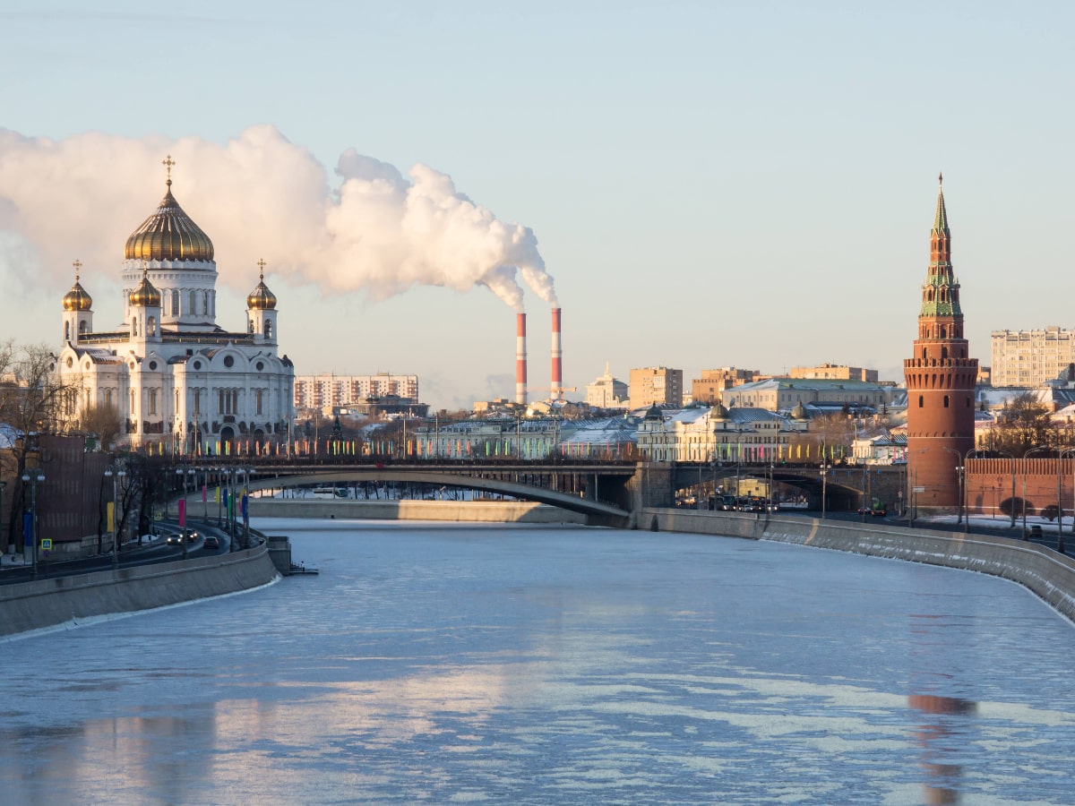
Spanning two continents, Russia is comfortably the largest country in the world and in total it covers about 11% of Earth’s total landmass. There are many statistics and facts which put just how large this place is into some perspective.
It’s perhaps better measured in time zones rather than miles or kilometres. The western oblast of Kaliningrad, sandwiched between Poland and Lithuania, is a huge 10 hours behind some distant regions of Russia such as Kamchatka Krai which is even further east than Far East nations such as Japan and South Korea. You can also get a feel for Russia’s vast size by hopping on the famous Trans-Siberian Railway which connects Moscow with the Pacific port of Vladivostok. The journey takes just over six days and covers 9,289 km.
The vast northern region of Siberia, takes up over half of Russia’s total territory, and were it a country in its own right, it would still be the largest in the world.
2. China – 9.4 million km²
China, which is the second largest country in the world, has a total land area of 9.4 million km². While most major Chinese cities such as Beijing and Shanghai are located in the heavily populated east of the country, the country also has some large western regions which contribute to its overall size.
Its two largest provinces are Tibet and Xinjiang in the west of China. Between them they account for around 30% of China’s land mass but less than 2% of what is the world’s largest population. The Inner Mongolia and Qinghai regions are also large but relatively sparsely populated regions, a far cry from its crowded megacities.
Whatever way you look at it, China is now the dominant Asian power and with land borders with 14 countries, from Kazakhstan and Tajikistan in Central Asia to North Korea in the Far East, China’s influence looms large in this part of the world.
3. USA – 9.1 million km²

Next up, we head to the United States of America, which has a very slightly larger land area than neighbouring Canada.
A bit like China, its largest region is also one of the least populated. Alaska is the largest state in the US by land area – accounting for more than 15% of its total territory but with a population of under 750,000, only the states of Wyoming and Vermont have fewer residents. California and Texas however also rank in the top three largest states – in this case both in terms of size and population.
While it doesn’t quite have the extreme distances of Russia in mainland USA at least, residents of Hawaii would be forgiven for feeling a little bit cut off from the rest of the country. It takes 9 hours 30 minutes to fly from Honolulu to New York. Honolulu to Boston is even further, and is sometimes referred to as the longest domestic flight in the world, although technically the South Pacific islands of French Polynesia fully form part of the nation of France and a 2020 direct flight between Papeete and Paris was longer.
Read More – Best islands in Hawaii
4. Canada – 9.1 million km²
Canada is perhaps more commonly regarded as the world’s second largest country. Were we to include water bodies such as Great Lakes then this would be correct, however by surface area only, it is just behind China and the USA.
Despite their comparable size, Canada’s population is only 12% of that of its southern neighbour and less than 3% of China’s. Much of Canada endures long freezing winters and it is home to some of the coldest places on Earth. However its major cities are mostly spread out across the south of the country, many within a relatively short distance of the US border.
It’s over 4,500 km by road from Vancouver on the Pacific Coast to Montreal in the eastern region of Quebec – the second largest Canadian province. The largest, spanning more than 2 million km², is the incredibly sparsely populated northern region of Nunavut which has a population density of just 0.02/km². To put that another way, there is a land area of 50km² for every person in Nunavut!
5. Brazil – 8.4 million km²

Completing the five largest countries in the world is Brazil, the largest nation in South America. Brazil accounts for just shy of half of the total land area of South America and it shares a border with every South American country with the exception of Chile and Ecuador.
Of course, much of Brazil’s territory is taken up by the vast, albeit shrinking, Amazon region. Despite extensive deforestation in recent decades, the latest estimates put the Amazon Rainforest at having a land area of 5.5 million km² and over 60% of that is in Brazil. Were it a country, the Amazon would be the 7th largest in the world, with a surface area that is almost twice the size of India.
The northern states of Amazonas and Pará are the largest of the 26 in Brazil but the majority of Brazilians live in the many considerably smaller states which hug the Atlantic Coast stretching from the Uruguayan border in the south to French Guiana in the north.
The top 10 largest countries in the world are rounded off by Australia (7.7 million km²), India (3.0 million km²), Argentina (2.7 million km²), Kazakhstan (2.7 million km²) and Algeria (2.4 million km²). We have a separate post covering the 10 smallest countries in the world, as well as the smallest in each continent.
Which is the largest continent in the world?
| Continent | Area in km² |
| Asia | 44.6 million |
| Africa | 30.4 million |
| North America | 24.7 million |
| South America | 17.8 million |
| Antarctica | 14 million |
| Europe | 10.2 million |
| Oceania | 8.5 million |
The largest continent in the world is actually slightly more difficult to measure given there are different ways of measuring where one continent ends and another begins. That’s particularly true of Europe and Asia – which is technically just one big land mass (Eurasia).
Going by how the United Nations classify continents, the largest continent is Asia with 29.5% of the world’s land mass. Much though does hinge on where European Russia ends and Asian Russia begins. The vast Ural Mountain range forms something of a natural border and is largely seen as the dividing line.
This article was published in March 2021.

